Apartma Nad vasjo
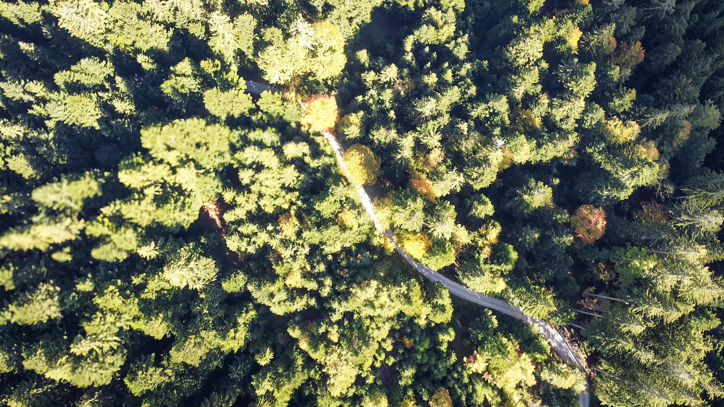
Forest road through the Jelovica forest, filmed from above

Activities

On foot, by bike, into the air or on skis in winter.

Activities

On foot, by bike,
into the air or on skis.

Cross-country skiing

Above the village · drive to the start

Loop around Dražgoška gora

In winter the forest road around Dražgoška gora becomes a cross-country ski trail: a 7.7 km loop between about 960 and 1200 m. The route with a map and GPX is among the tours.

See the route on the map →

Ski areas nearby

Nearest

Rudno

A small family ski area in the Selška Valley above Železniki, with one well-groomed slope, snowmaking and night skiing. Ideal for children and first turns.

sc-rudno.si

Nearby

Soriška planina

A ski area at the end of the Selška Valley, between 1,287 and 1,550 metres, with about 7 km of slopes, a chairlift and drag lifts.

soriska-planina.si

Nearby

Cerkno

One of the larger ski areas in western Slovenia, with about 18 km of slopes between 800 and 1,300 metres.

hotel-cerkno.com

Nearby

Stari vrh

Above Škofja Loka, with about 10 km of wide forest slopes between 580 and 1,217 metres.

starivrh.si

Further away

Vogel

High above Lake Bohinj, with a view of Triglav.

vogel.si

Further away

Krvavec

One of the largest ski areas in Slovenia, above Cerklje na Gorenjskem.

rtc-krvavec.si

Tours

Hiking and cycling tours
around Dražgoše.

In Dražgoše

Easy walk · loop from the apartment door

Dražgoše loop

An easy loop through the village: from the apartment along the upper road to the west, then down and back along the lower road below the village. The route also passes the snack bar Brunarica Dražgoše, where you can stop for a pizza or a refreshing drink. Mostly on tarmac and village paths, with views of the Selška Valley; suitable for everyone, including families.

Length
4.7 km
Elevation gain
150 m
Time
approx. 1 h 25 min
Difficulty
Easy
Hike · from the apartment door

Dražgoška gora

From the apartment along the road and then up forest paths to Dražgoška gora, where the paragliding take-off is, to about 1100 m. You return the same way. Mostly on gravel and forest paths; the path is easy, but the climb is steady.

Length
5.9 km
Elevation gain
290 m
Time
approx. 1 h 55 min
Difficulty
Easy
Loop · drive to the start · cross-country skiing in winter

Loop around Dražgoška gora

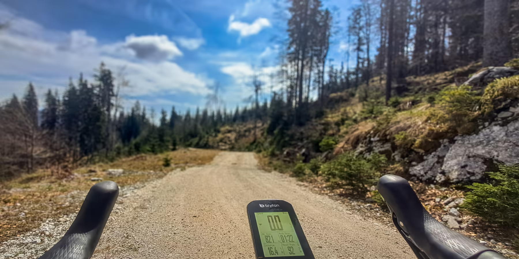
You drive to the start above the village, by the path to Dražgoška gora. The route loops along a wide gravel forest road around Dražgoška gora up to about 1200 m and back over the top, where the paragliding take-off is. In winter it is also a cross-country ski trail.

Length
7.7 km
Elevation gain
280 m
Time
approx. 2 h 20 min
Difficulty
Moderate

In the Selška Valley · by car

Start at Prtovč · drive to the car park

Ratitovec and the Krek Hut

Ratitovec is the best-known and most visited peak of the Selška Valley. You drive to the start, the upper car park in Prtovč, and from there a loop leads up through the forest and along mountain paths to the Krek Hut on Ratitovec (1642 m), where food, drinks and a view all the way to the Julian and Kamnik Alps await you. You can return by a different path.

The hut is open daily in summer, otherwise on Saturdays, Sundays and holidays in good weather; check that it is open before you set off.

Length
6.3 km
Elevation gain
620 m
Time
approx. 3 h
Difficulty
Moderate
Start at Črni kal · drive to the car park

Blegoš and the Blegoš Hut

You drive to the car park at Črni kal. The loop leads up a forest path to the grassy summit of Blegoš (1562 m) with its views, then down along the ridge to the Blegoš Hut (1391 m), where you can have a bite to eat, and back along the road to Črni kal. The landscape below Blegoš is known from Tavčar's story Flowers in Autumn.

Check that the hut is open before you set off.

Length
4.6 km
Elevation gain
430 m
Time
approx. 2 h
Difficulty
Moderate

Check all heights and walking times on site or on hribi.net. Where a route is suitable, we will also add winter versions.

Paragliding

Take-off sites
above the Selška Valley.

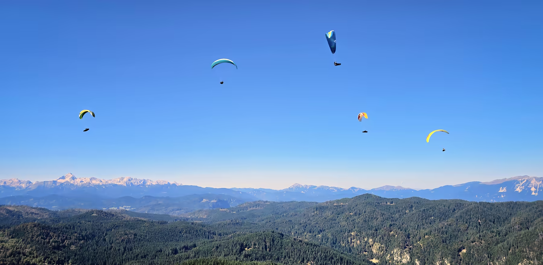
The official take-off sites nearby are Dražgoška gora above the village and Ratitovec.

The only official take-off sites are Dražgoška gora and Ratitovec. Flights from other points in the area are also published on XCGlobe.

Live wind

Ratitovec 1639 m Loading data …
Blegoš 1188 m Loading data …

Data from the automatic weather stations of ARSO, updated every 10 minutes. The windsock shows where the wind is blowing; more coloured segments mean a stronger wind. Check the wind and thermal forecast on Windy.

No experience needed

Tandem flights

Contact details for bookings coming soon.

Local club

Krokarji Club Železniki

Local pilots know best what conditions are like at the take-off sites and where to land.

More about the club on their website klub-krokar.si.

Through the year

Every season
has its own paths.

Spring

First hikes

When the forests of Jelovica turn green, it is time for Dražgoška gora.

Summer

In the shade of Jelovica

When it is hot in the valley, the forest paths on Jelovica are pleasantly cool for cyclists and hikers, while paragliders circle above Dražgoška gora.

Autumn

Colours and light

The colourful forests of Jelovica, fog in the valley and the best mornings for photography on Jamnik.

Winter

Skis and trails

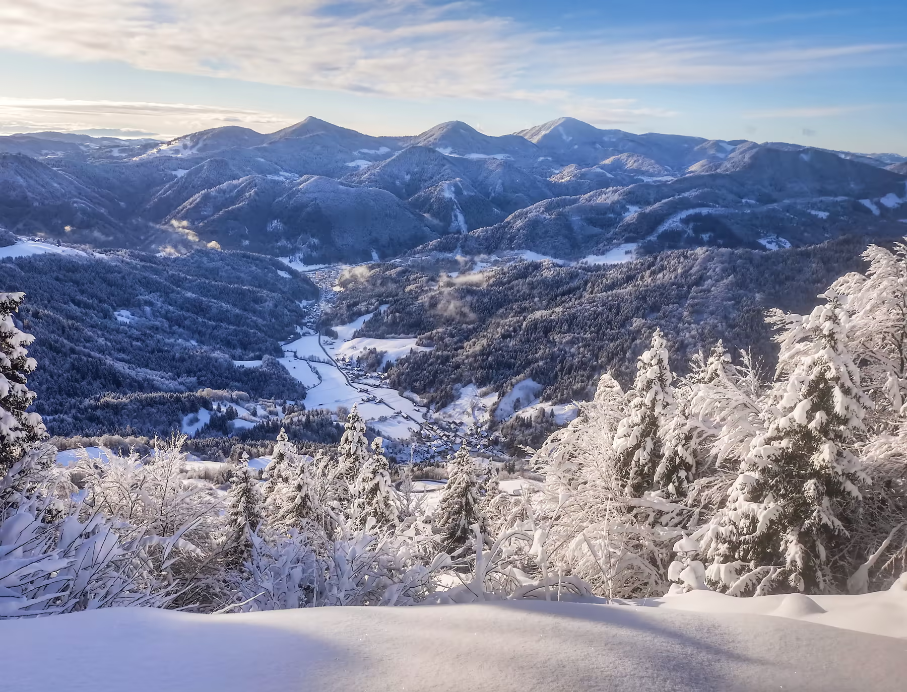
Cross-country trails on Jelovica above the village, the Rudno family ski area and winter hikes.